

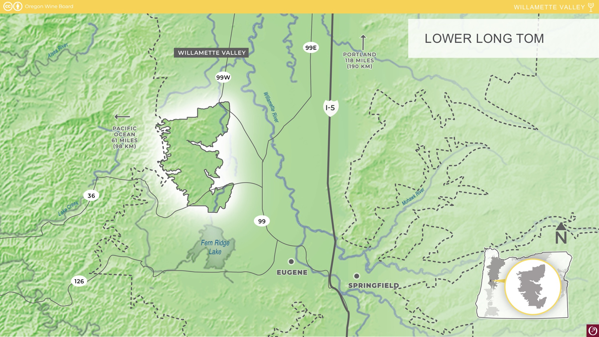
Lower Long Tom
Established: 2021
Total Area: 25,000 acres (10,117 ha)
Planted Area: 575 acres (232 ha)
Predominant Soils: Bellpine and Bellpine-Jory
Predominant Varieties: Pinot noir, Pinot gris, Chardonnay, and Sauvignon blanc
Lower Long Tom downloads
![]()
Presentation preview
About
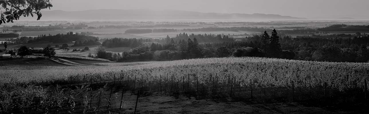
Located in Lane and Benton counties, Lower Long Tom is characterized by a chain of rolling hills separated by east-to-west valleys, cut by the tributaries of the region’s namesake, the Long Tom River. The Long Tom River is a tributary of the Willamette River, and its watershed marks the eastern edge of the new AVA.
Vineyards in the appellation are located on stream-cut ridge lines, with Bellpine as the predominate soil type. These shallow, clay-loam soils are formed from up-lifted ancient marine sediments, primarily sandstone. To the west, the region is flanked by a stretch of significant peaks within the Coast Range, which serve as a weather shield. The rain shadow contributes to consistent grape maturity in the region.
Long Tom is a regional name associated with the Kalapuyan people who have lived in the area for more than 10,000 years. The name is used in recognition of the ongoing contributions of the Kalapuyan people in the local community and across Oregon.


